Eerste Nota over de Ruimtelijke Ordening (First Memorandum on Spatial Planning)
Core idea
The first Dutch national memorandum on spatial planning.
Why it matters
Opened the Nota lineage of state spatial doctrine guiding post-war Dutch development.
Description
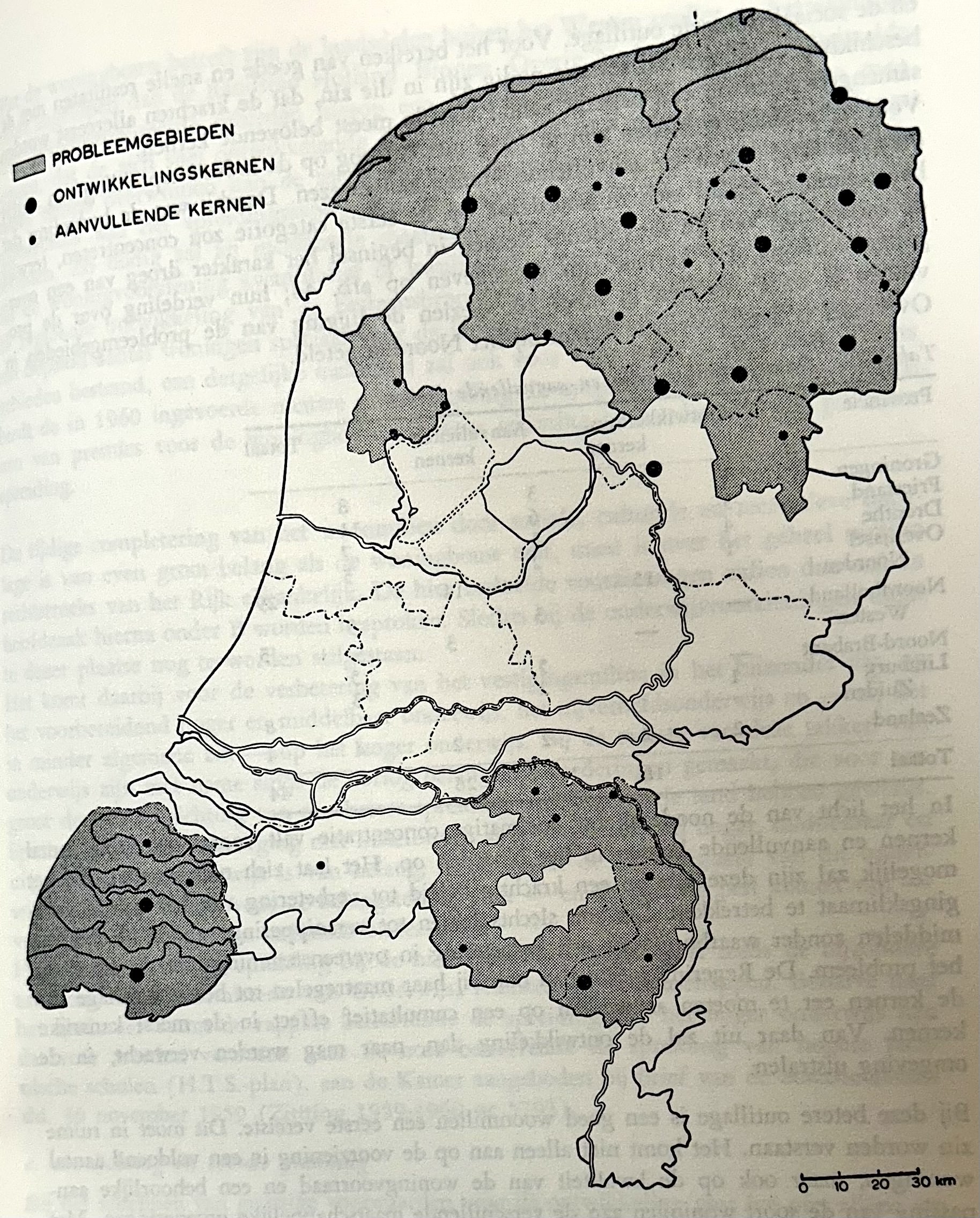
The Eerste Nota over de Ruimtelijke Ordening of 1960 was the first national memorandum setting out spatial planning policy for the Netherlands, drawn up in response to rapid post-war population growth, industrialisation and pressure on scarce land. It offered a national vision for distributing housing, industry and infrastructure, seeking to steer growth away from an overcrowded west and towards lagging regions through measures supporting industrial dispersal. The memorandum introduced ideas that would recur throughout later policy, including containment of urban expansion, the protection of open landscape through green buffer zones around cities, and attention to regional differences in development and infrastructure provision.
Significance
The First Memorandum established spatial planning as an explicit instrument of national government in the Netherlands and inaugurated the influential series of Nota's that shaped Dutch urbanisation for decades. Its concern with balancing urban growth, regional development and the safeguarding of open space set the agenda for the doctrine of clustered deconcentration and growth-centre policy elaborated by its successors.
What shaped it
- The master plan (early 20th c.)
- The green belt (1898 concept / 1938 law)
Plans it influenced
- Nota Ruimte (2004)
- Deltametropolis Concept (1998)
Sources
- https://www.mlit.go.jp/kokudokeikaku/international/spw/general/netherlands/index_e.html
- https://www.cbs.nl/nl-nl/longread/diversen/2025/tijdlijn-woningvoorraad/overzicht-nota-s-ruimtel