Flevoland Omgevingsvisie
Core idea
Water/landscape-led development
Why it matters
Young province’s long-range structure
Description
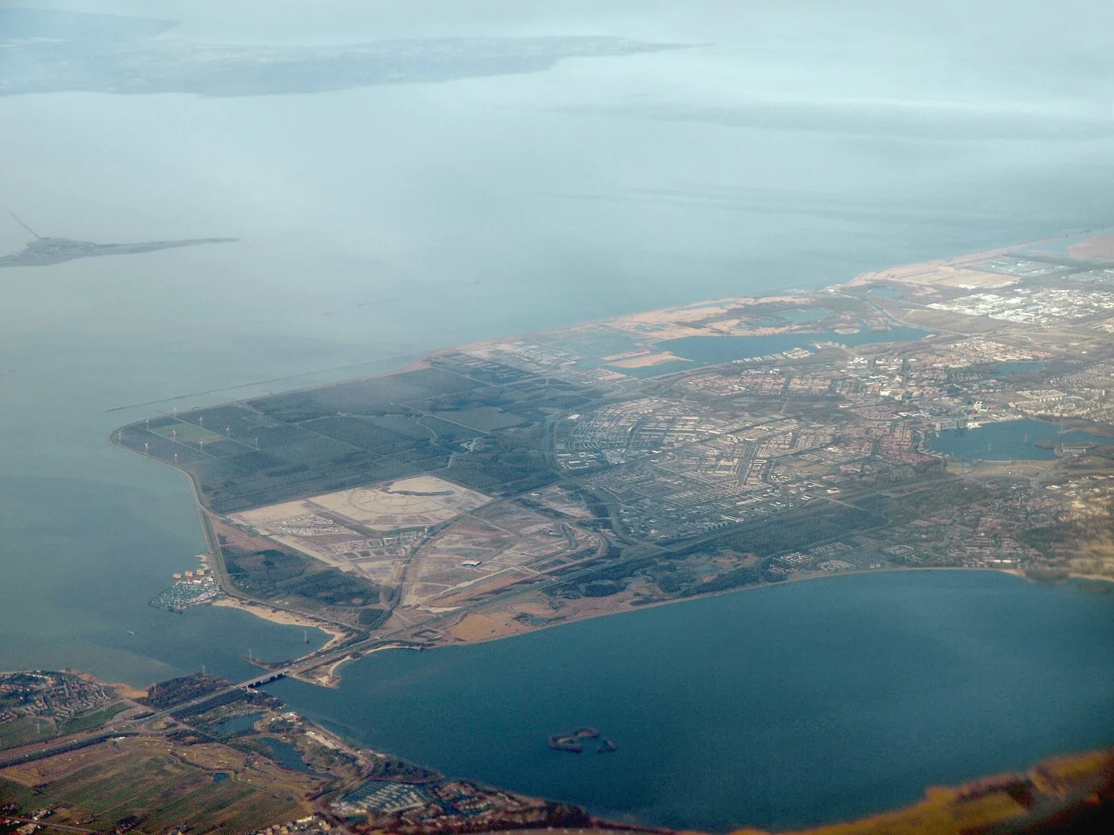
A provincial environment and spatial vision (omgevingsvisie) adopted in 2017 by Flevoland, the Dutch province created entirely on land reclaimed from the former Zuiderzee in the twentieth century. Framed as 'FlevolandStraks', it sets a long-range course for a young polder landscape: guiding growth of Almere and Lelystad, renewable energy, agricultural transition and nature development such as the Oostvaardersplassen area, all anchored in the province's defining water and landscape structure. It is a strategic framework in the spirit of the incoming Dutch Environment Act rather than a blueprint.
Significance
The vision is significant as strategic planning for a wholly designed territory — the world's largest reclamation project confronting its second generation of choices about identity, growth and ecology. It exemplifies the Dutch shift from prescriptive spatial plans to integrated, invitation-based 'omgevingsvisies', and Flevoland's water- and landscape-led framing carries the polder tradition of design-before-settlement into contemporary adaptive planning.
What shaped it
- Landscape urbanism (Waldheim) (1997-2006)
- Urban resilience (2013)
- Paris Climate Agreement (2015)
Sources
- https://www.flevoland.nl/wat-doen-we/omgeving/omgevingswet/omgevingsvisie-flevoland
- https://zoek.officielebekendmakingen.nl/stcrt-2017-33124.html