Gao (Gao Ancien and Gao-Saney)
Core idea
A Niger-bend trading city that grew into the imperial capital of Songhai, organised into royal and commercial quarters.
Why it matters
Shows how trans-Saharan commerce shaped a major West African capital structured around trade and royal authority.
Description
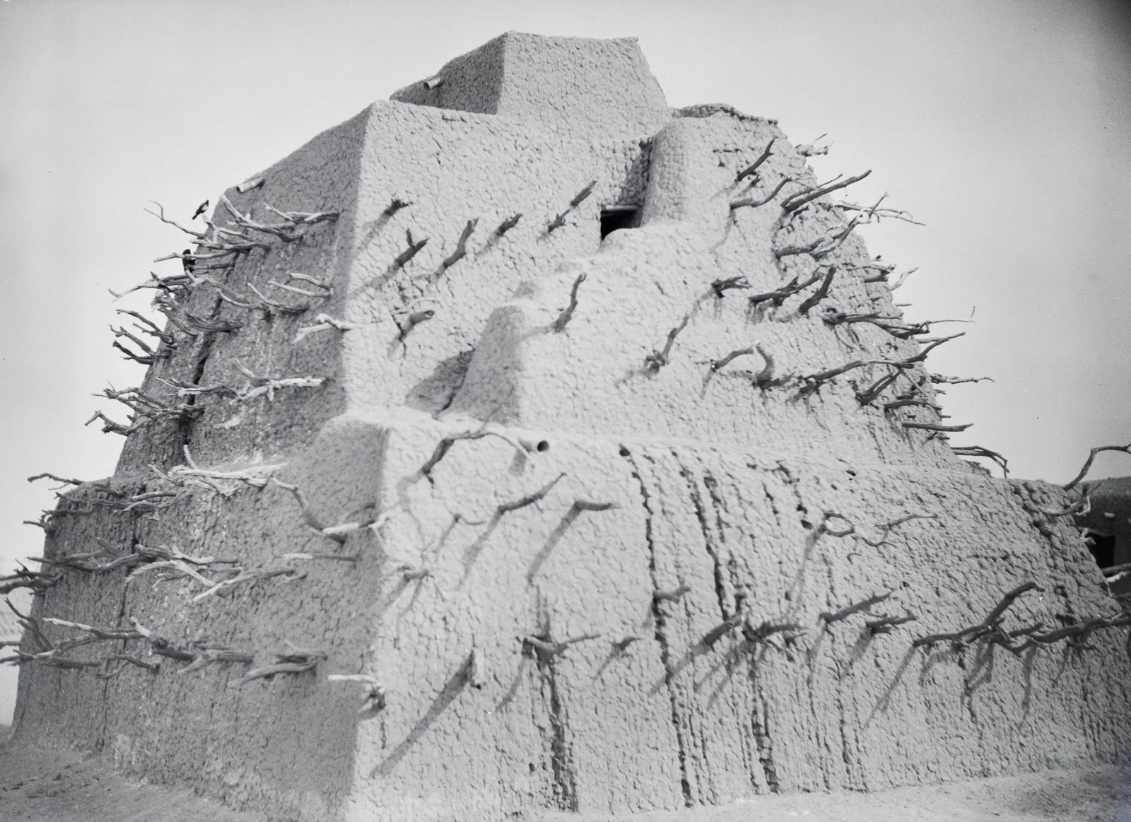
Gao stands at the north bend of the Niger in present-day Mali, where archaeology shows occupation from at least the late first millennium. Two adjacent settlements developed: Gao Ancien, within the modern town, and Gao-Saney some four kilometres east. From the eleventh century the town served as the capital of the Songhai state, and under Songhai rule it flourished as a leading trans-Saharan entrepôt trading gold, salt, copper and enslaved people, linked to Timbuktu and Djenné. The urban fabric combined a royal and administrative core with mercantile and residential quarters strung along the river, sustained by fishing, irrigation and the annual silt deposits of the Niger floodplain.
Significance
Gao demonstrates how long-distance trade and imperial power jointly structured a sub-Saharan city, with commercial quarters and a royal core organised around a river artery. As the seat of the Songhai Empire, one of West Africa's largest states, it anchored a regional network of trading towns. The site remains central to understanding pre-colonial African urbanism and the spatial logic of trans-Saharan commerce.
Plans it influenced
- Timbuktu (c. 12th–16th c.)