Istanbul (Ottoman / Sinan külliye urbanism)
Core idea
Imperial capital restructured by külliye — mosque complexes bundling school, hospital, kitchen, bath, and market that seeded self-sufficient neighborhoods on the skyline
Why it matters
The külliye-as-neighborhood-generator is a distinctly Ottoman planning device; Sinan composed an entire imperial skyline of domed complexes
Description
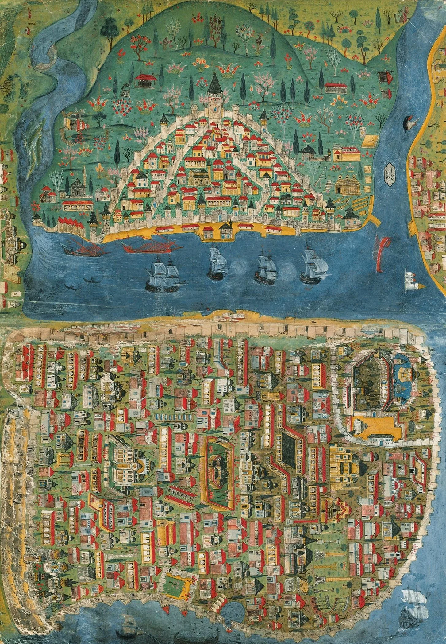
After 1453 the Ottomans transformed conquered Constantinople into their imperial capital largely through the külliye — vast mosque complexes, several designed by the architect Sinan in the 16th century, that bundled a mosque with schools, hospital, soup kitchen, baths, and market. Each anchored and serviced a self-sufficient neighbourhood, and together they composed an imperial skyline of domes and minarets.
Significance
The külliye-as-neighbourhood-generator is a distinctly Ottoman planning device — social infrastructure and urban structure delivered as one endowed institution. Sinan's complexes orchestrated an entire metropolis's form and skyline, a model of decentralized, service-rich city-building.
What became of it
A semi-deserted city in 1453, repopulated and restructured under Mehmed II and later sultans; Sinan's külliye complexes reorganised the skyline and neighbourhoods. Largely realised and still legible, though much Ottoman fabric was lost to later fires and modernisation.
Critique
Scholars note the c.1600 '700,000' figure is likely exaggerated and that külliye-led 'planning' was decentralised and patronage-driven rather than a unified master plan.
What shaped it
- The waqf (charitable endowment) (institutionalised c. 8th–9th c.)
- The souq and qaysariyya (covered market) (developed c. 8th–10th c.)
- The bimaristan (hospital) (first general hospital c. 805)
- Fall of Constantinople (1453)
- The hammam (public bath) (developed c. 7th–9th c.)
Plans it influenced
- Isfahan (Safavid replanning) (1598–1629)
Sources
- https://en.wikipedia.org/wiki/S%C3%BCleymaniye_Mosque
- https://smarthistory.org/mimar-sinan-suleymaniye-mosque-istanbul/