Leeds South Bank Masterplan
Core idea
Station-adjacent mixed-use expansion
Why it matters
Northern Powerhouse urban core
Description
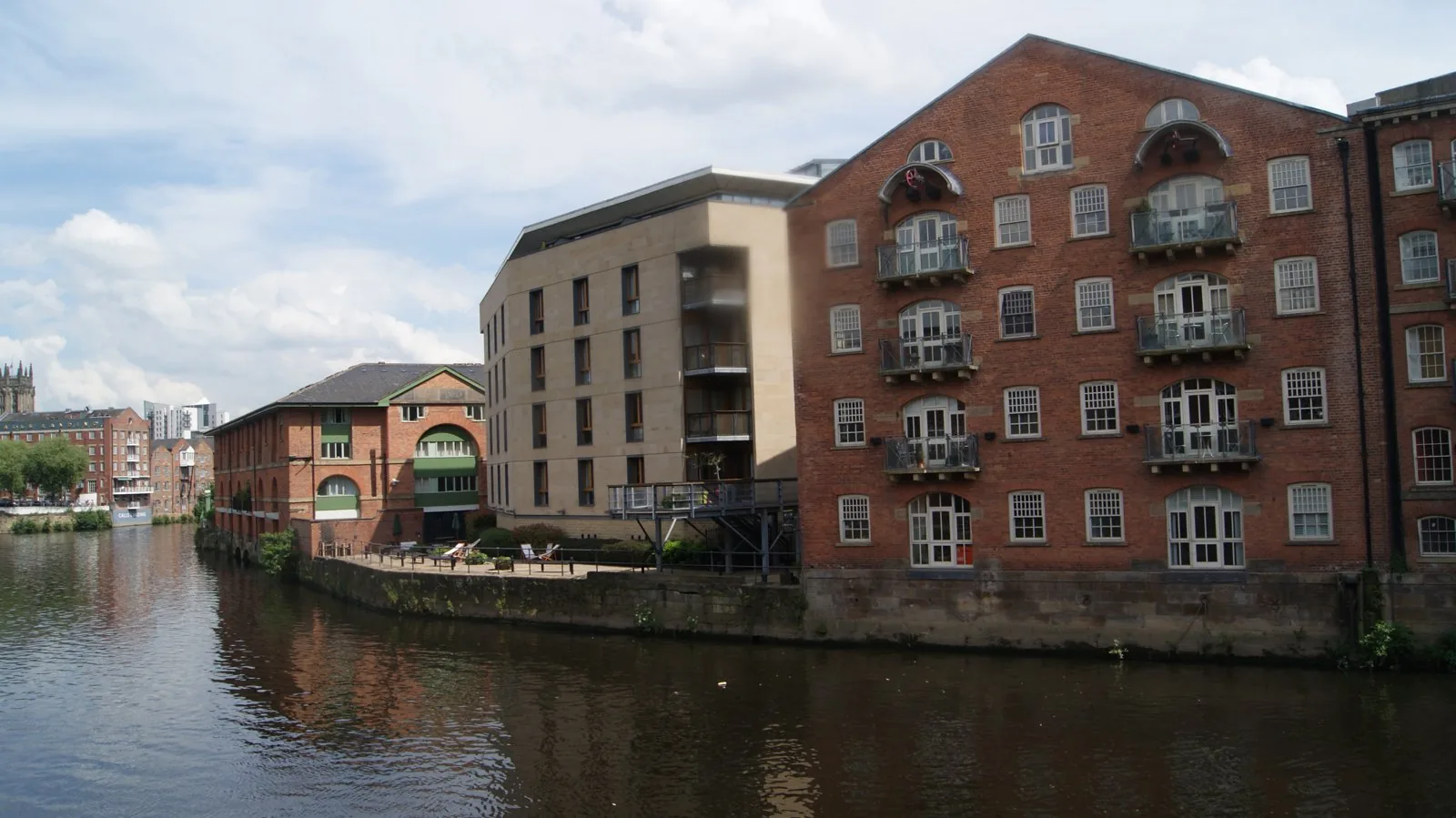
The Leeds South Bank masterplan framework, advanced by Leeds City Council from 2016, guides the extension of the city centre southwards across former industrial land around the River Aire, Holbeck and the area adjoining the main railway station. It envisages a doubling of the effective city-centre area with mixed-use development, a remodelled station district originally planned around a High Speed 2 terminus, new parkland and the reuse of heritage structures such as the Tetley brewery site.
Significance
South Bank has been promoted as one of the largest city-centre regeneration initiatives in Europe and became a centrepiece of the Northern Powerhouse agenda for rebalancing the English economy. The cancellation of HS2's eastern leg exposed the plan's dependence on national infrastructure decisions, making it a cited example of the vulnerability of station-led regeneration. It remains an important British case of post-industrial city-centre expansion through incremental, framework-based planning.
What shaped it
- Transit-oriented development (TOD) (1993)
- The compact city (1973-1990s)
- The master plan (early 20th c.)
- Land-value capture and betterment (developed from the early 20th century)
Plans it influenced
Sources
- https://news.leeds.gov.uk/news/masterplan-for-south-bank-and-remodelled-leeds-station-formally-a
- https://southleedslife.com/south-bank-masterplan-adopted/