Noord-Holland 2050 Omgevingsvisie
Core idea
Climate adaptation, energy & landscape
Why it matters
Provincial spatial coordination
Description
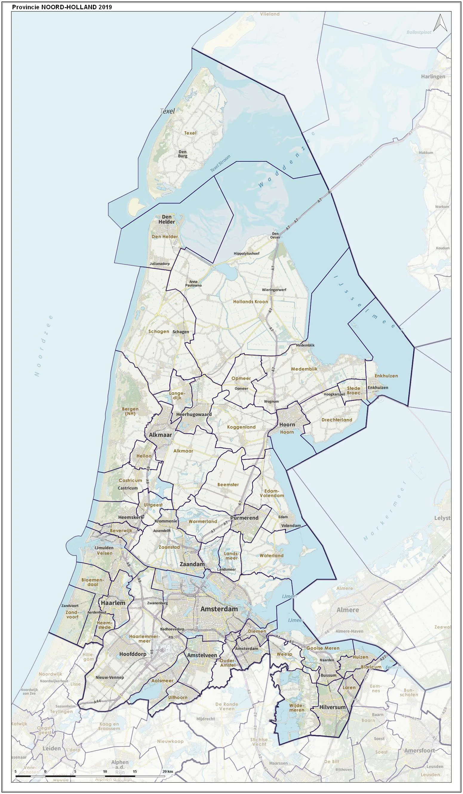
The Noord-Holland 2050 Omgevingsvisie, adopted in 2018 by the Province of Noord-Holland, is an integrated environmental and spatial vision prepared in the spirit of the Netherlands' new Environment and Planning Act. It sets long-term provincial directions on climate adaptation, the energy transition, housing, mobility and landscape protection, balancing the growth pressures of the Amsterdam metropolitan area against open landscapes, water systems and agricultural land. As a framework document, it guides municipal plans and provincial regulations rather than prescribing individual projects.
Significance
The vision exemplifies the Dutch shift from sectoral spatial plans to integrated 'environment visions' that treat climate, energy and landscape as co-equal with urbanisation. It is significant as an instrument of provincial coordination in one of Europe's most intensively planned regions, illustrating how intermediate tiers of government mediate between national goals and municipal growth.
What shaped it
- Paris Climate Agreement (2015)
- Urban resilience (2013)
- Sustainable development (Brundtland) (1987)
- SDG 11 — Sustainable Cities (2015)
Plans it influenced
- Zuid-Holland Omgevingsvisie (2019)
- Brabant Omgevingsvisie (2018)
- Nationale Omgevingsvisie (NOVI – National Strategy on Spatial Planning and the Environment) (2020)
Sources
- https://www.noord-holland.nl/Onderwerpen/Ruimtelijke_inrichting/Projecten/Omgevingswet/Omgevings
- https://openresearch.amsterdam/nl/page/42690/omgevingsvisie-provincie-noord-holland-2050