Seoul Gangnam (Yeongdong) Development Plan
Core idea
A state-driven 'second Seoul' south of the Han built through land readjustment and chaebol apartment districts.
Why it matters
The template for Korea's high-rise apartment urbanisation and population dispersal.
Description
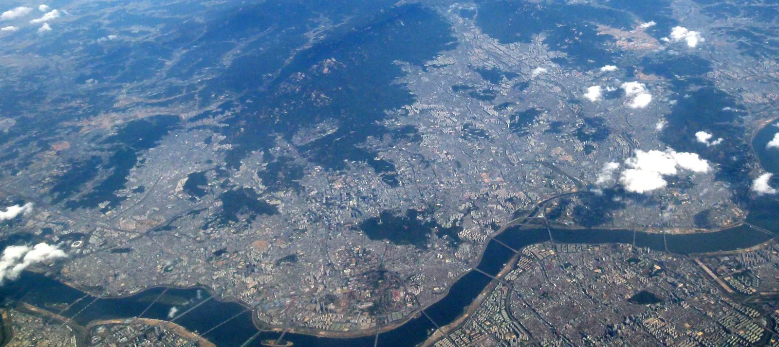
Launched around 1970, the Gangnam (Yeongdong) Development Plan sought to disperse Seoul's surging population southward across the Han river, aiming for a rough sixty-forty split favouring the south. The state used land readjustment, rezoning, expressway and bridge construction—the Hannam bridge and Gyeongbu Expressway among them—and relocation incentives to convert farmland into a planned built-up district for hundreds of thousands of residents. Large apartment complexes erected by chaebol-affiliated developers produced a new high-density landscape, with the area structured as a southern sub-centre within Seoul's polycentric plan of one central and several sub-central districts.
Significance
Gangnam's development created the model for Korea's distinctive high-rise apartment urbanism and demonstrated how the state could engineer a new urban district through land readjustment and infrastructure. It reshaped Seoul's spatial and social geography, concentrating wealth and education in the south. The plan remains a defining case of rapid, state-led East Asian metropolitan growth.
What shaped it
- Adickes Law — land readjustment (1902)
- The superblock (1920s–30s / 2016 revival)
- The grid (c. 2500 BCE)
- The master plan (early 20th c.)