Sheikh Zayed City Master Plan (Egypt)
Core idea
Satellite city with green boulevards
Why it matters
Part of GCR satellite network
Description
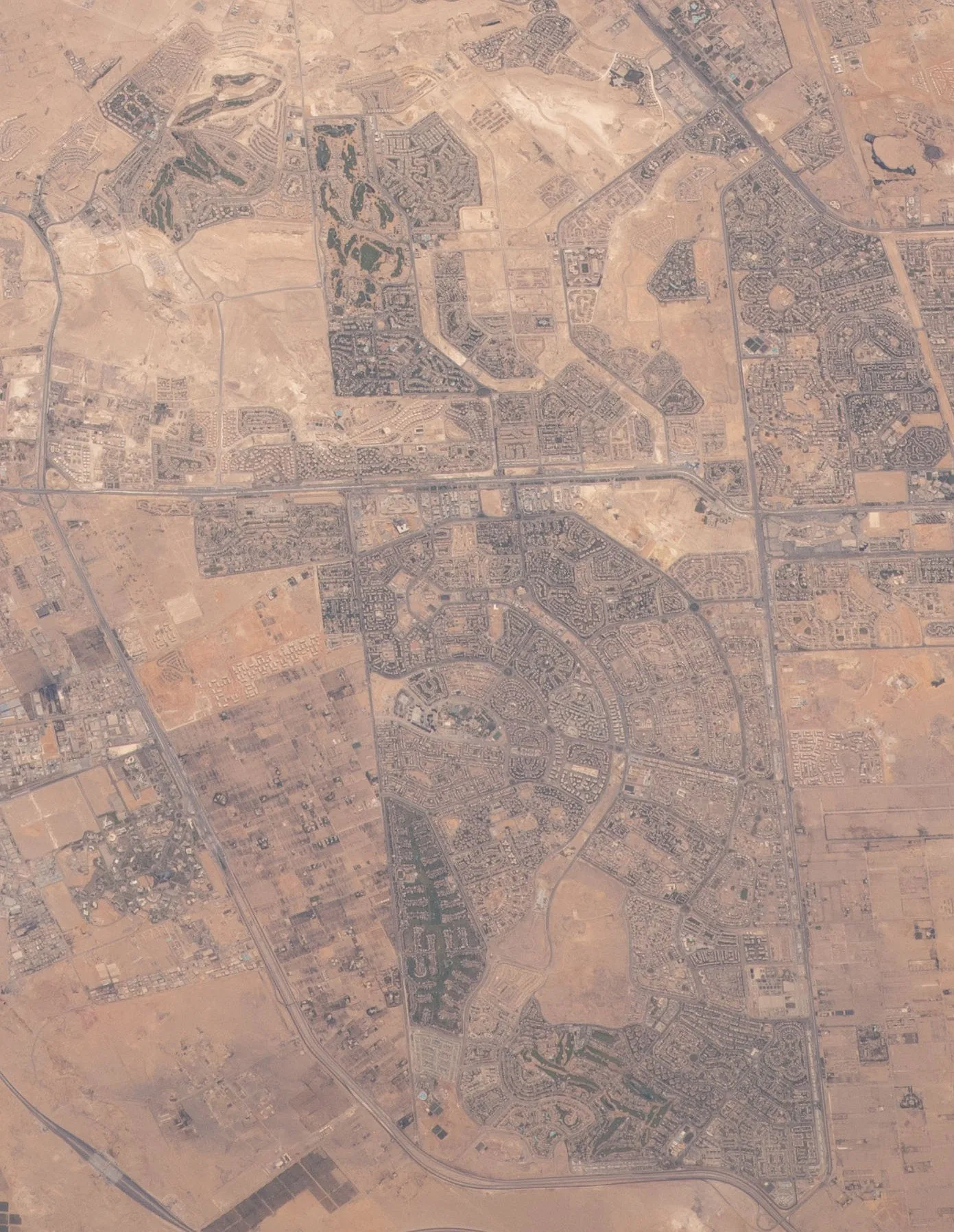
Sheikh Zayed City is a satellite new town west of Cairo, planned in the early 1990s by Egypt's New Urban Communities Authority (NUCA) with initial funding support from the United Arab Emirates. Laid out on desert land near the 26th of July corridor, it combines residential districts arranged around green boulevards and open spaces with commercial centres, universities and gated compounds. It forms part of the ring of new towns intended to draw population and investment out of the congested Nile Valley core of the Greater Cairo Region.
Significance
The city exemplifies Egypt's decades-long desert new-town programme, one of the largest state-led decentralisation efforts in the Middle East and North Africa. Together with 6th of October City it shifted much of Cairo's upper-middle-class growth westwards, and it is frequently examined in debates on whether Egypt's satellite cities relieve the capital or deepen socio-spatial segregation through car dependence and gated development. Its trajectory from state housing project to premium private compounds mirrors the broader liberalisation of Egyptian urban development.
What shaped it
- Garden Cities of To-Morrow (1898 / 1902)
- The garden suburb (1903)
- The master plan (early 20th c.)
- Structural-adjustment programmes (1980s–1990s)
Plans it influenced
- New Alamein City (Egypt) (2018–)
Sources
- https://en.wikipedia.org/wiki/Sheikh_Zayed_City
- https://en.wikipedia.org/wiki/New_Urban_Communities_Authority