Shimla Colonial Hill Station
Core idea
Ridge-top 'Little England' that governed British India each summer.
Why it matters
Archetype of colonial hill-station urbanism and the seasonal capital.
Description
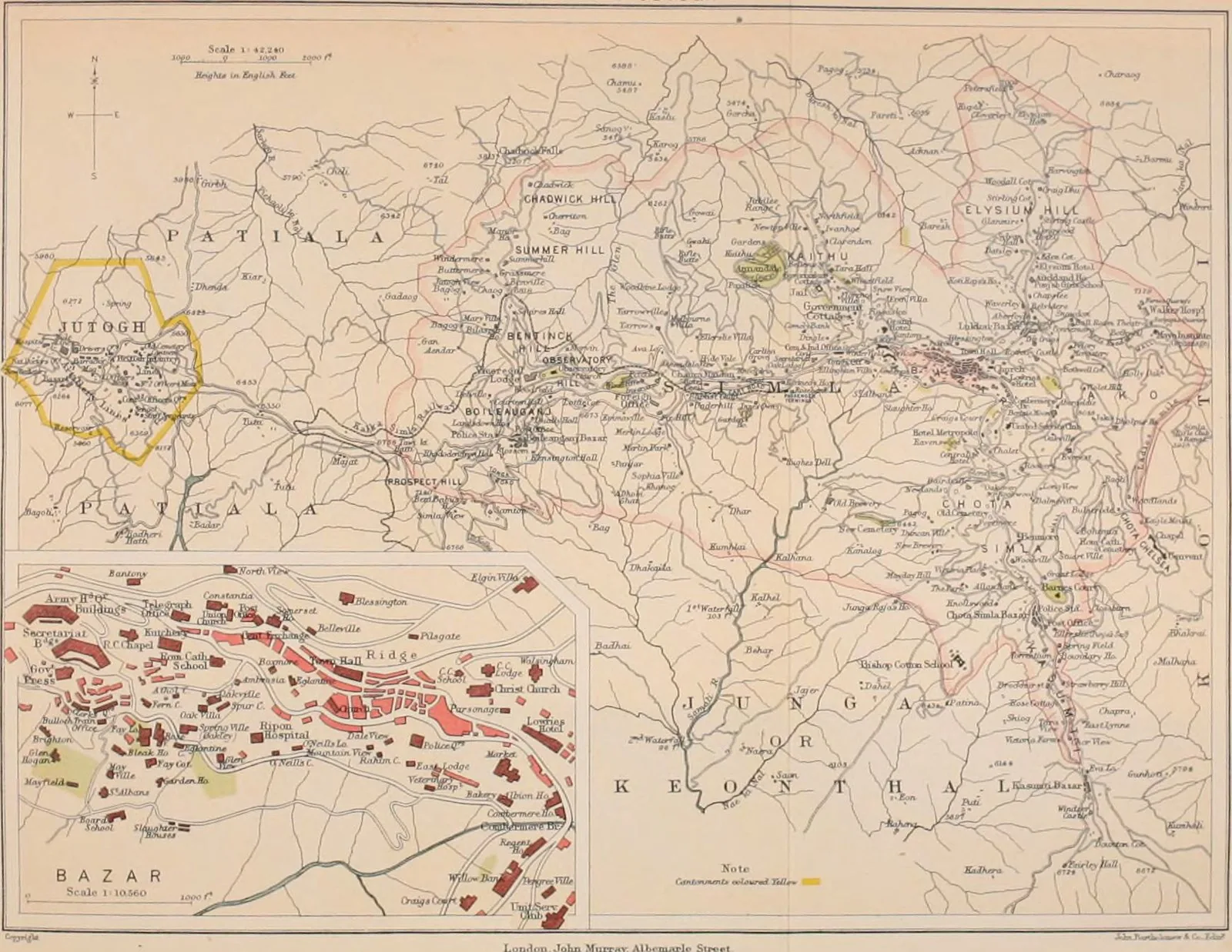
First settled by the British from around 1819–22 and designated summer capital of British India in 1864, Shimla developed as a linear town along a Himalayan ridge at roughly 2,200 metres. It was organised around the Mall, a commercial promenade closed to most traffic, and the Ridge, an open public square at the European, eastern end. Victorian and mock-Tudor buildings, including the Viceregal Lodge, Christ Church and the Gaiety Theatre, gave it a self-conscious Little England character, while the Indian population was displaced to the lower terraces of the bazaar, encoding a vertical social and racial order into the townscape.
Significance
Shimla was the premier British hill station and, uniquely, the place from which an empire of some three hundred million people was governed for several months each year, as the Government of India migrated annually between Calcutta and the Himalayan ridge. It became the model for the colonial summer capital and the broader hill-station type, combining health resort, administrative seat and social retreat. It remains the capital of Himachal Pradesh and a vivid record of colonial spatial segregation.
What shaped it
- The British Empire and modern colonialism (1600 – 20th c.)
- Romanticism & the Picturesque (late 18th-19th c.)
- The public park (1843–1858)
Plans it influenced
Sources
- https://en.wikipedia.org/wiki/Shimla
- https://theindosphere.com/history/british-shimla-summer-capital-india-1864/