Stratford City / International Quarter London
Core idea
Office/residential around Stratford stations
Why it matters
Harnesses Olympic legacy and Crossrail for a new CBD
Description
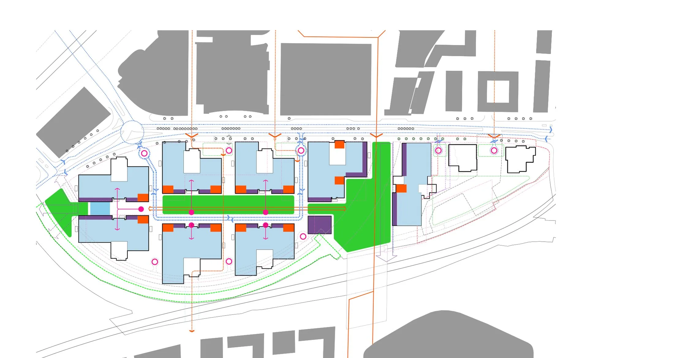
Stratford City and its commercial core, the International Quarter London, form a major mixed-use district beside Stratford's stations in east London, advanced from 2011 as part of the Olympic legacy. Developed by Lendlease with partners, with buildings and masterplanning input from Rogers Stirk Harbour + Partners among others, the scheme delivers large office campuses, thousands of homes and retail anchored by the Westfield centre, adjoining the Queen Elizabeth Olympic Park. Its location exploits exceptional rail connectivity, later reinforced by the Elizabeth line.
Significance
The project is the principal built expression of London 2012's legacy promise: using the Games and transport investment to create a new commercial centre outside the traditional CBD. It figures prominently in debates on event-led urbanism, including how far regeneration benefits reached existing east London communities versus corporate occupiers and new residents. As a deliberately planned 'new CBD' it also informs discussion of polycentric office geography in London.
What shaped it
- Transit-oriented development (TOD) (1993)
- Global financial crisis (2007–2009)
- The skyscraper (1885)
- The master plan (early 20th c.)
- The metro / underground railway (1863)
Plans it influenced
Sources
- https://www.rsh-p.com/projects/office/international-quarter-london/
- https://en.wikipedia.org/wiki/Stratford_Cross