SVIR (Structuurvisie Infrastructuur en Ruimte)
Core idea
Structural vision integrating infra & space
Why it matters
National framework preceding NOVI
Description
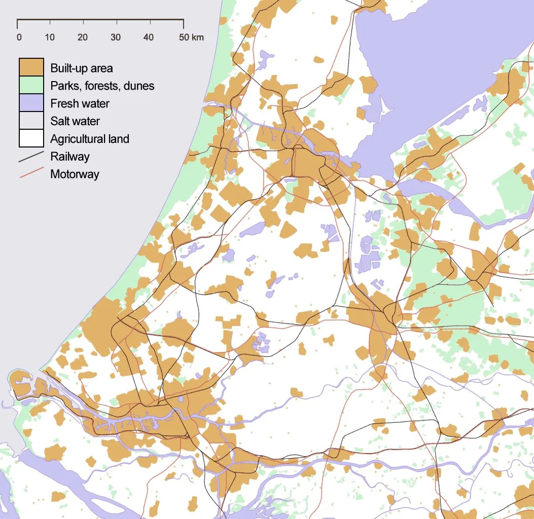
The Structuurvisie Infrastructuur en Ruimte, a national spatial strategy adopted by the Dutch government in 2012, integrating infrastructure and spatial development policy in a single framework document. The SVIR pared back the national government's role in spatial planning, devolving most decisions to provinces and municipalities while concentrating state involvement on thirteen national interests such as main transport corridors, ports and energy networks. It replaced the earlier Nota Ruimte and national mobility policy.
Significance
The SVIR is significant as the moment the Netherlands, long a byword for strong national planning, deliberately decentralised and slimmed down its national spatial policy. It framed a decade of debate about whether the state had withdrawn too far from housing and spatial coordination, and it set the stage for the later Nationale Omgevingsvisie (NOVI), which partially reasserted national direction.
What shaped it
- Neoliberalism (1970s–1990s)
- Transit-oriented development (TOD) (1993)
- The compact city (1973-1990s)
- Global financial crisis (2007–2009)
- The master plan (early 20th c.)
Sources
- https://www.rijksoverheid.nl/documenten/rapporten/2012/03/13/structuurvisie-infrastructuur-en-ru
- https://www.eerstekamer.nl/structuurvisie/structuurvisie_infrastructuur_en