Toronto Waterfront – East Bayfront & West Don Lands
Core idea
Mixed-use districts with flood protection
Why it matters
Model of tri-government urban revitalization
Description
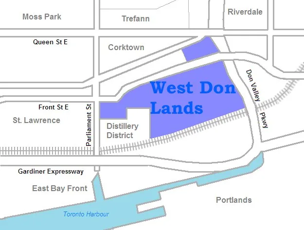
A programme of waterfront regeneration on Toronto's central lakefront pursued from the mid-2000s by Waterfront Toronto, the corporation established jointly by the federal, provincial and municipal governments. Precinct plans for East Bayfront and the West Don Lands converted former port and industrial lands into mixed-use districts with parks, promenades and affordable housing, with the West Don Lands protected by a purpose-built flood-protection landform and later serving as the 2015 Pan Am Games athletes' village.
Significance
The Toronto waterfront is frequently presented as a model of tri-government revitalisation, showing how a dedicated intergovernmental agency can sustain long-term, design-led regeneration across political cycles. Its integration of flood protection with public space anticipated later resilience-driven waterfront practice, and the programme gained additional prominence through the debate over, and eventual abandonment of, the Sidewalk Labs proposal at Quayside.
What shaped it
- Landscape urbanism (Waldheim) (1997-2006)
- Transit-oriented development (TOD) (1993)
- Sustainable development (Brundtland) (1987)
Plans it influenced
Sources
- https://www.waterfrontoronto.ca/sites/default/files/documents/west-don-lands-precinct-plan---may
- https://www.waterfrontoronto.ca/our-projects/scope-scale/east-bayfront