Turin, Savoy Baroque extensions
Core idea
Successive axial, porticoed grid extensions turning a ducal seat into a Baroque capital.
Why it matters
A model of staged absolutist city-building that codified the porticoed monumental street.
Description
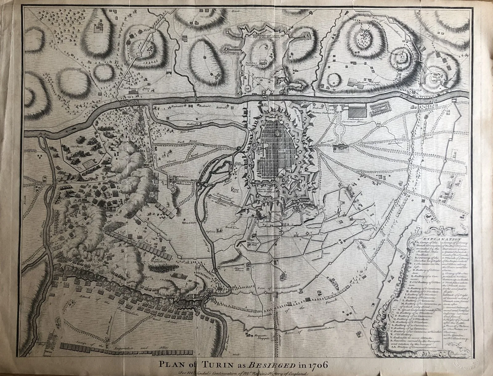
From the 1610s the Savoy court systematically enlarged Turin beyond its Roman core to project the image of a capital. Continuing a programme begun by Ascanio Vitozzi, Carlo di Castellamonte laid out the southern Città Nuova around the Via Nuova (now Via Roma) and the symmetrical Piazza Reale (Piazza San Carlo), while his son Amedeo extended the city eastward towards the Po along the porticoed Via Po. The extensions retained a disciplined orthogonal grid of uniform blocks, unified by continuous arcaded façades and terminated by squares and gateways. The result was a sequence of coordinated axes radiating from the ducal residence at Piazza Castello.
Significance
Turin demonstrates how Baroque absolutism organised urban growth through repeated, geometrically controlled extensions rather than a single founding act. Its continuous porticoes, uniform cornice lines and axial squares became an influential template for monumental street design across Europe. The phased Castellamonte schemes turned a defensive frontier town into a planned capital and remain a principal exemplar of seventeenth-century Italian urbanism, later recognised within the Savoy residences World Heritage inscription.
What became of it
Realised and absorbed into modern Turin; the Baroque grid, porticoed streets and royal squares still define the city centre, partly inscribed within the UNESCO Savoy Residences listing.
What shaped it
- The Renaissance (14th-16th c.)
- De Re Aedificatoria (1452)
- De Architectura (c. 15 BCE)
Plans it influenced
- Karlsruhe (1715)
Sources
- https://en.wikipedia.org/wiki/Carlo_di_Castellamonte
- https://journals.openedition.org/rivesnm/871?lang=en