Vijfde Nota over de Ruimtelijke Ordening (Fifth Memorandum on Spatial Planning)
Core idea
'Red and green contours' to contain sprawl and protect open landscape.
Why it matters
Influential containment concept that was never formally enacted nationally.
Description
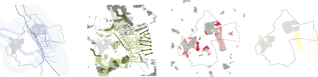
The Vijfde Nota over de Ruimtelijke Ordening, drafted around 2001 under minister Jan Pronk, proposed managing urban growth through a system of red and green contours. Red contours were to be drawn around towns and cities, beyond which building would not be permitted, while green contours protected valued open landscapes such as the Green Heart from any development; the extensive territory in between was defined as a balance area subject to negotiated planning. The memorandum sought to curb sprawl and safeguard open space, but it was never definitively adopted at national level and was subsequently superseded by the Nota Ruimte, which dropped the contour system.
Significance
Although never formally enacted, the Fifth Memorandum's red and green contours became an influential idea in Dutch debates on containing urban sprawl and protecting open landscape, and several provinces incorporated contour lines into their own regional plans during its drafting. It represents a high-water mark of restrictive, landscape-led national spatial planning before the more market-oriented Nota Ruimte.
What became of it
Published in 2001 but never finalised: it lapsed after the second Kok cabinet resigned and was effectively replaced by the Nota Ruimte / Spatial Memorandum of 2004-2006, which abandoned the strict contour approach.
Critique
The red/green contour proposal was widely criticised as heavy-handed central state intervention over local land-use autonomy.
What shaped it
- The compact city (1973-1990s)
- The green belt (1898 concept / 1938 law)
- Sustainable development (Brundtland) (1987)
Plans it influenced
- Nota Ruimte (2004)
Sources
- https://nl.wikipedia.org/wiki/Nota_Ruimte
- https://www.dearchitect.nl/projecten/vijfde-nota-ruimtelijke-ordening-2000-2020