Warsaw Spatial Development Plan
Core idea
Ring roads, metro expansion, centers
Why it matters
Post-1989 metropolitan reintegration
Description
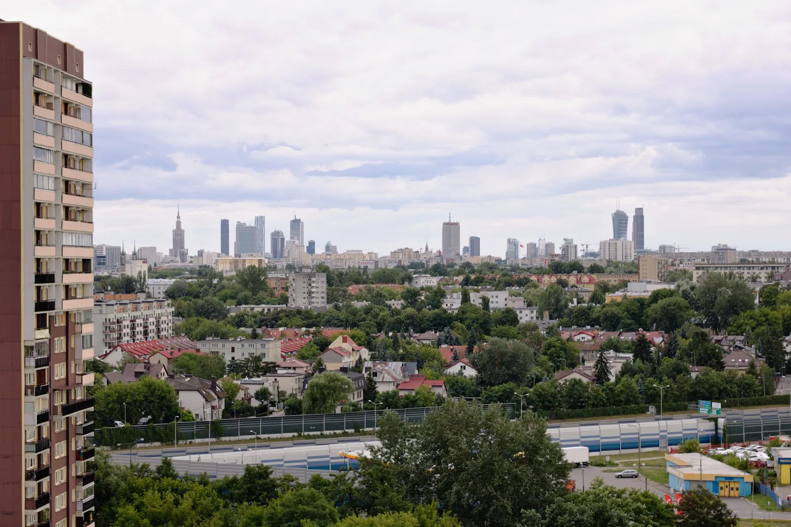
The spatial development framework for Warsaw, adopted in 2006 and revised through the 2010s, setting the structure for the Polish capital's post-socialist growth. The plan promoted a system of ring roads to relieve the centre, continued expansion of the metro (including the east–west second line), and a hierarchy of centres intended to consolidate a city whose fabric had been shaped by wartime destruction, socialist-era estates and post-1989 suburbanisation.
Significance
Warsaw's plan illustrates the challenge of metropolitan reintegration after state socialism, retrofitting strategic coordination onto a period of rapid, weakly regulated market-led development. It is discussed in Central European planning literature as an attempt to reconcile road-based catch-up infrastructure with transit-oriented ambitions, in a governance context where Polish spatial planning instruments remained comparatively weak.
What shaped it
- Neoliberalism (1970s–1990s)
- The metro / underground railway (1863)
- The compact city (1973-1990s)
Sources
- https://mbpr.pl/en/wydania-on-line/study-of-the-spatial-development-plan-of-the-warsaw-metropoli
- https://www.sciencedirect.com/science/article/abs/pii/S0264275124002087