Yerevan General Plan 2020
Core idea
Ring roads + metro extension
Why it matters
Statutory plan for Armenian capital
Description
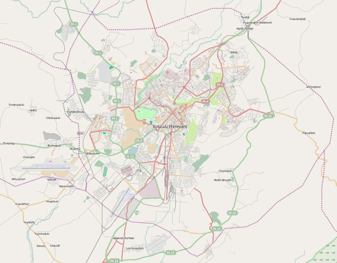
The Yerevan General Plan 2020, adopted in 2006 and prepared by the Yerevanproject institute, was the statutory master plan guiding the development of the Armenian capital in the post-Soviet era. It set out a framework of ring roads, arterial improvements and a proposed extension of the city's Soviet-built metro, alongside zoning for new commercial and residential growth. The plan attempted to reconcile Alexander Tamanian's celebrated 1924 radial-concentric layout with the pressures of privatised land markets and rapid, often informal, redevelopment of the city centre.
Significance
The plan is significant as an example of post-Soviet statutory planning in the Caucasus, where inherited institutions and drawing conventions met a radically changed political economy. Its implementation has been contested, with critics arguing that elite-driven projects such as Northern Avenue overrode the plan's public intentions, making Yerevan a frequently cited case in debates about heritage, speculation and weak plan enforcement in transition states.
What shaped it
- Dissolution of the USSR (1991)
- Neoliberalism (1970s–1990s)
- The metro / underground railway (1863)
- The compact city (1973-1990s)