Greater Accra Spatial Dev. Framework
Core idea
Coastal belt growth & new towns
Why it matters
First metropolitan-wide plan in Ghana
Description
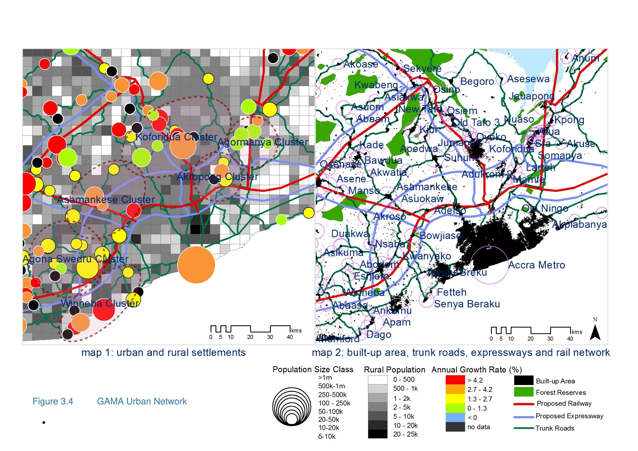
A spatial development framework for the Greater Accra region, prepared under Ghana's National Development Planning Commission with international consultants and adopted in 2015. It was the first plan to treat the Accra conurbation at a truly metropolitan scale, proposing a structured coastal belt of growth, new towns and sub-centres, transport corridors, and protection of ecologically sensitive lagoon and floodplain areas to guide the region's rapid expansion.
Significance
As Ghana's first metropolitan-wide spatial framework, the plan marked a shift in West African planning from municipal land-use control towards regional strategic guidance. Its significance lies in demonstrating both the promise and the limits of such frameworks where implementation powers, land governance and municipal fragmentation remain weak, a recurring theme in African metropolitan planning debates.
What shaped it
- Garden Cities of To-Morrow (1898 / 1902)
- The master plan (early 20th c.)
- UN 2030 Agenda & Sustainable Development Goals (2015)
Plans it influenced
Sources
- https://ndpc.gov.gh/media/Ghana_National_Spatial_Development_Framework_2015-2035_Volume_II_2015.
- https://www.researchgate.net/publication/283509803_GHANA_NATIONAL_SPATIAL_DEVELOPMENT_FRAMEWORK_