Mannheim Quadratestadt
Core idea
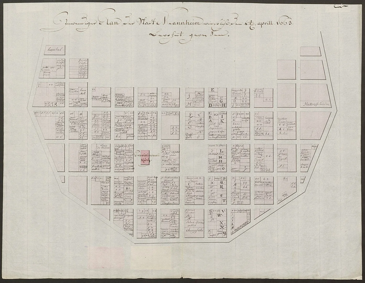
Orthogonal blocks labeled by grid
Why it matters
Clarity and legibility as organizing logic
Description
Mannheim was laid out from 1606 by the Electors Palatine as a fortified residence and trading city at the confluence of the Rhine and Neckar. Its core, the Quadratestadt, is a uniform orthogonal grid of blocks which are identified not by street names but by an alphanumeric code of letters and numbers, a system still in use. The grid sat within bastioned fortifications and was rebuilt on the same lines after wartime destruction in the late seventeenth century.
Significance
Mannheim is an early and unusually pure example of clarity and legibility adopted as the organising logic of a whole city, its addressless block-code making the abstraction of the grid explicit. It is frequently cited in histories of the gridded town as a bridge between Renaissance ideal-city geometry and the pragmatic mercantile grids of later centuries.
What shaped it
- The grid (c. 2500 BCE)
- The Renaissance (14th-16th c.)
Plans it influenced
- Karlsruhe (1715)
- Philadelphia Plan (1682)