Canon · Early Modern (1500–1800)
Savannah Ward Plan
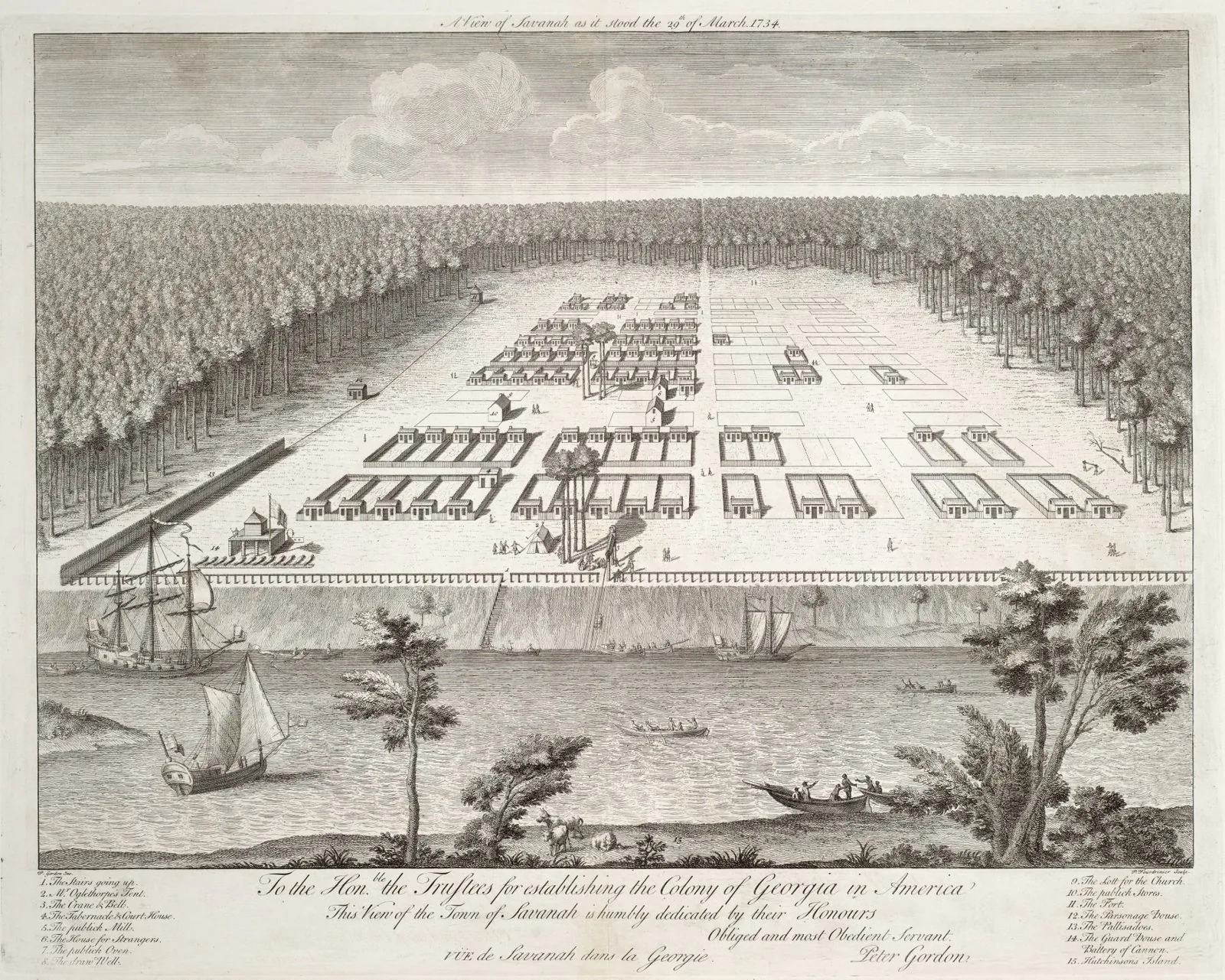
Core idea
Repeating ward/square module
Why it matters
Walkable social micro-neighborhoods template
Description
James Oglethorpe's 1733 plan for Savannah repeated a single modular unit — a ward built around a public square, flanked by civic and residential blocks — that could be added indefinitely as the city grew. Savannah expanded by replicating this cell into an interconnected network of squares.
Significance
Savannah is one of history's most admired town plans: a flexible, repeatable module balancing private lots with abundant public space. Its network of squares remains a touchstone for walkable, human-scaled urban design.
What became of it
Realised and remarkably well preserved; about 22 of the original squares survive and the ward-and-square module still defines Savannah's historic district.
What shaped it
- The grid (c. 2500 BCE)
- The British Empire and modern colonialism (1600 – 20th c.)
- The plaza / forum / agora (c. 500 BCE)
Plans it influenced
Sources
- https://www.georgiaencyclopedia.org/articles/history-archaeology/savannah-city-plan/
- https://en.wikipedia.org/wiki/Oglethorpe_Plan
hub.toekom.st — History of Urbanism · an interactive timeline of 850 planned cities across 6,000 years.