Schiphol Area Development (SADC) Strategy
Core idea
Airport-edge logistics/innovation clusters
Why it matters
Coordinated airport-region land-use
Description
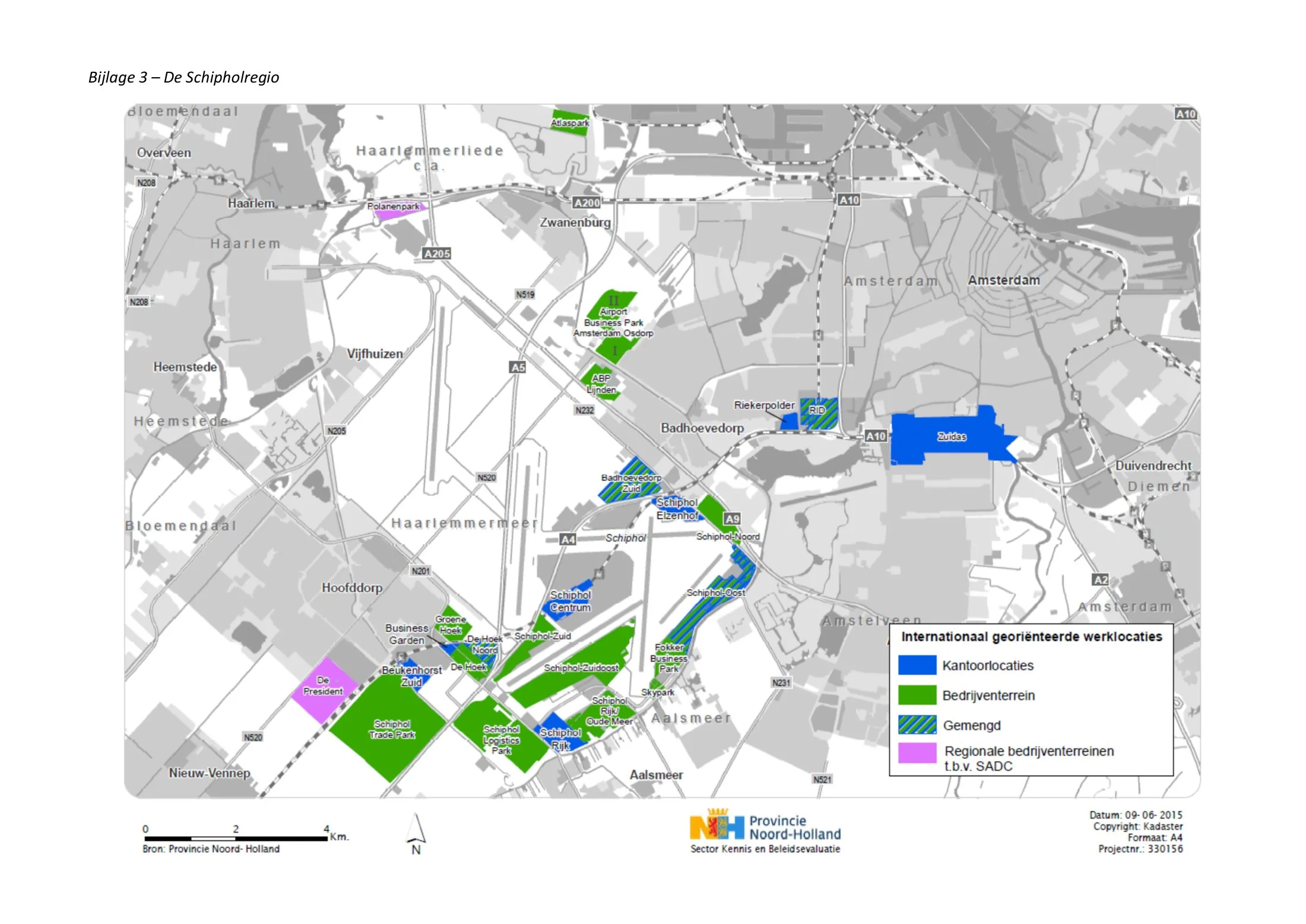
A strategy of the 2010s by the Schiphol Area Development Company (SADC), a joint venture of Amsterdam, Haarlemmermeer, Schiphol Airport and the province of Noord-Holland, for the lands around Amsterdam's main airport. The strategy coordinates a string of business estates and logistics and innovation clusters at the airport's edges, managing scarce land, noise-contour constraints and accessibility so that airport-linked development supports rather than sprawls across the region.
Significance
The SADC strategy is a mature European example of airport-region governance, treating the airport and its hinterland as a single planning object — an idea associated with 'airport city' and aerotropolis debates. Its joint public ownership model is noted as a way of disciplining competition between municipalities for airport-related investment.
What shaped it
- The jet airliner and the airport (Comet 1952; Boeing 707 1958)
- Containerised-logistics scale-up (1970s–1990s)
- Splintering Urbanism (Graham & Marvin) (2001)
Sources
- https://www.sadc.nl/en/ons-verhaal/
- https://www.sadc.nl/schiphol-trade-park-the-worlds-most-sustainable-logistic-business-park/