Valparaíso Waterfront Recovery
Core idea
Port heritage + public space
Why it matters
Balances port and city needs
Description
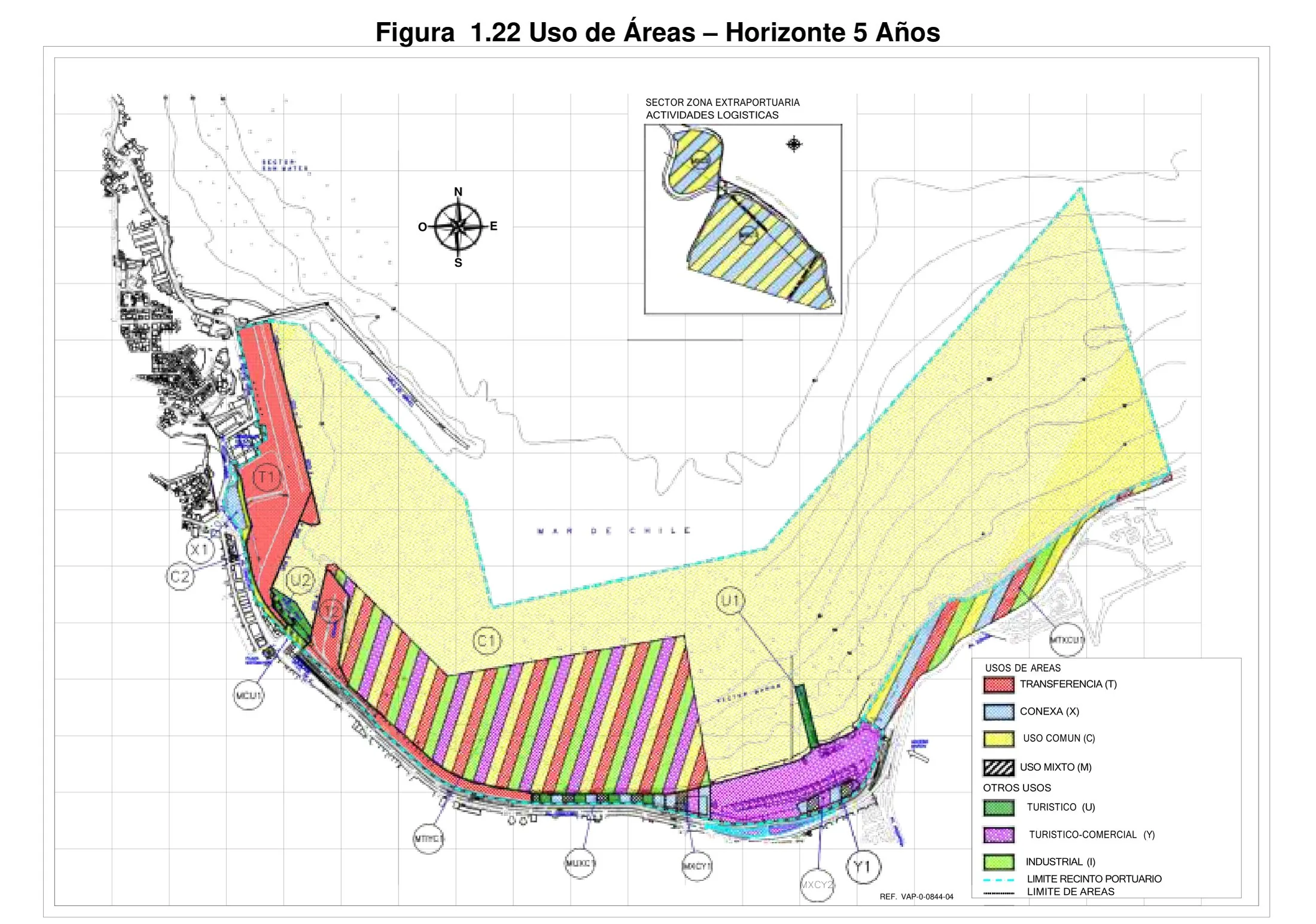
A rolling programme of waterfront recovery for Valparaíso, Chile, led by the port authority (Empresa Portuaria Valparaíso) with the municipality from the 2010s onwards. The plan seeks to open sections of the working harbour edge to public use, reconciling container and cruise operations with the UNESCO-listed historic city that rises on the amphitheatre of hills behind. Key moves include new public spaces and promenades at the port–city interface and the adaptive reuse of port heritage structures.
Significance
The project is frequently cited in Latin American debates on port–city relations, where expansion of cargo handling and protection of urban heritage sit in direct tension. Controversies over proposed mall and terminal schemes on the waterfront made Valparaíso a test case for balancing port economics, citizen activism and World Heritage obligations, giving the recovery effort significance well beyond its physical extent.
What shaped it
- The Architecture of the City (1966)
- Containerised-logistics scale-up (1970s–1990s)
- The public park (1843–1858)
Sources
- https://www.aivp.org/en/newsroom/new-port-city-road-map-for-valparaiso-chile/
- https://www.puertovalparaiso.cl/a-un-ano-del-acuerdo-por-valparaiso-avances-y-proyecciones-para-