VINEX
Core idea
Large planned housing extensions
Why it matters
Scaled suburban growth with transit linkage
Description
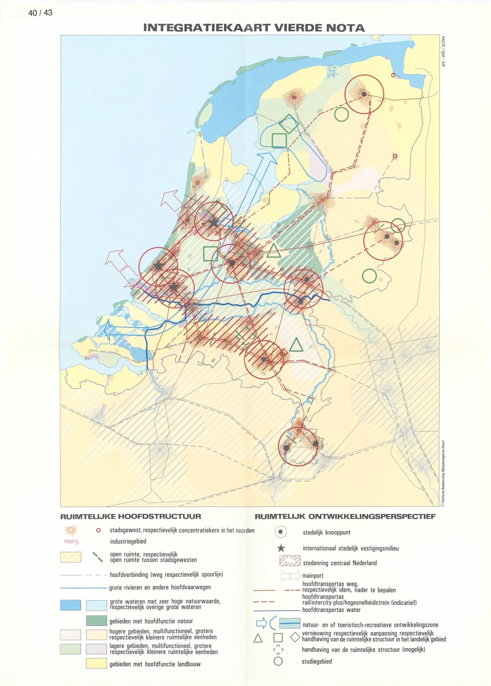
The Netherlands' VINEX policy (1991) designated large planned housing districts on the edges of existing cities to accommodate national housing demand in compact, often architecturally controlled, transit- and cycling-linked extensions rather than scattered sprawl.
Significance
VINEX is a major example of national-scale, state-coordinated housing delivery, shaping where and how hundreds of thousands of Dutch homes were built and offering lessons on managing large-scale suburban growth coherently.
What became of it
Implemented through the later 1990s and 2000s as large greenfield housing extensions on city edges; widely built but delivered fewer homes than the original million-dwelling ambition within the period.
Critique
Frequently criticised for monotonous low-density suburban estates, car dependence and weak public-transport and amenity provision.
What shaped it
- The compact city (1973-1990s)
- The master plan (early 20th c.)
- Sustainable development (Brundtland) (1987)
- The green belt (1898 concept / 1938 law)
Plans it influenced
- Nota Ruimte (2004)
- Amsterdam IJburg (1997–)
- Utrecht Leidsche Rijn (1995–)
- Vijfde Nota over de Ruimtelijke Ordening (Fifth Memorandum on Spatial Planning) (2001)