Xi'an Ming Walled City
Core idea
Best-preserved Ming fortified city, a rectangular circuit raised on the Tang imperial-city footprint with moat and gate-towers
Why it matters
The exemplary surviving Ming defensive city, demonstrating continuity with Tang imperial planning
Description
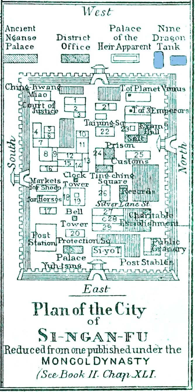
Begun in 1370 under the Hongwu Emperor, the walls of Xi'an form one of the oldest, largest and best-preserved fortified-city circuits in China. The Ming rebuilt and extended the defences over the surviving palace-wall foundations of the Tang imperial city, anchoring the new fortress to the site's long history as a capital stronghold. The resulting rectangular wall runs roughly fourteen kilometres, standing about twelve metres high and as much as fifteen metres thick at the base. It is equipped with a complete defensive apparatus: a surrounding moat with drawbridges, four principal gates aligned to the cardinal directions, numerous secondary gates, corner towers, watchtowers and parapets, expressing the standardised military urbanism of the early Ming.
Significance
Xi'an's circuit is the canonical intact example of a Ming fortified city, preserving in full the moat-and-rampart system that protected administrative centres across the empire. Built directly on the Tang imperial-city plan, it materialises the continuity of Chinese capital planning across dynasties, and its cardinal-gate geometry and bastioned defences make it the standard reference for late-medieval Chinese military town form.
What became of it
The Ming wall (begun 1370 on Tang-Sui foundations) survives largely intact, restored in the 20th century and now ringed by a park and moat; the enclosed grid remains Xi'an's historic core.
Critique
Scholars note the 'best-preserved' framing obscures heavy modern reconstruction and that the surviving Ming circuit encloses only a fraction of the far larger Tang Chang'an it superseded.
What shaped it
- Kaogongji (Artificers' Record) (c. 5th c. BCE)
- The walled-ward (fang) city system (Sui–Tang, c. 6th–9th c.)
- Fengshui landscape cosmology (Han onward, codified by Song)
- Gunpowder and the cannon (9th–14th c.)
Plans it influenced
- Ming Beijing / Forbidden City (1406–1420)
- Pingyao (1370)