Ming Beijing / Forbidden City
Core idea
Imperial palace and cardinal symmetry
Why it matters
Canonical axial capital of East Asia
Description
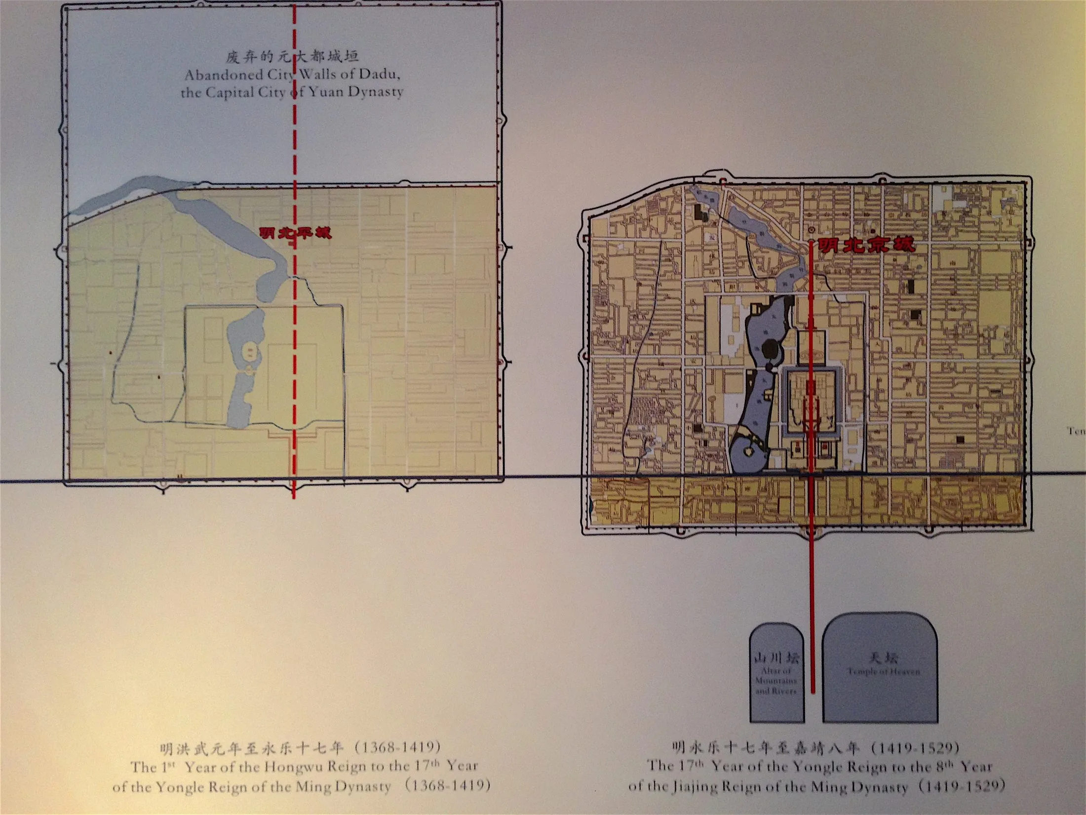
When the Ming moved their capital north in the early 15th century, they rebuilt Beijing as the supreme expression of Chinese cosmological planning: a nested set of walled enclosures aligned on a single north–south axis, with the Forbidden City at the center, the imperial and inner cities around it, and temples of Heaven and Earth at the cardinal margins. The emperor sat at the pivot of an ordered cosmos.
Significance
Ming Beijing is the most complete realization of the millennia-old Chinese ideal capital codified in the Kaogongji. Its rigorous axiality and concentric hierarchy influenced East Asian capitals for centuries and still structures the monumental heart of modern Beijing, from Tiananmen to the central axis recognized by UNESCO.
What became of it
Built 1406–1420 and realised on a rigorous cardinal axis; the Forbidden City survives intact as the Palace Museum (UNESCO 1987). The Ming city walls and most gates were largely demolished in the 20th century, though the palace core and central axis endure.
Critique
Critics observe the cosmological cardinal symmetry served imperial ideology of centrality and exclusion rather than urban habitability, segregating the populace from a vast off-limits ritual core.
What shaped it
- Kaogongji (Artificers' Record) (c. 5th c. BCE)
- Fengshui landscape cosmology (Han onward, codified by Song)
- The walled-ward (fang) city system (Sui–Tang, c. 6th–9th c.)
Plans it influenced
- Jaipur (1727)
- Beijing Master Plan (2004–2020) (2004–2020)
- Beijing Sub-Center (Tongzhou) Masterplan (2016–)
- Edo (Tokugawa Capital) (1590–1868)
- Hue Imperial Citadel (1804)