Laws of the Indies (Ordenanzas)
Core idea
Codified rules for founding colonial towns: central plaza, grid layout, church/government siting, lot allocation, orientation for wind and sun
Why it matters
Most influential urban planning code in history — shaped hundreds of cities across Latin America and the Philippines; first codified planning framework at continental scale
Description
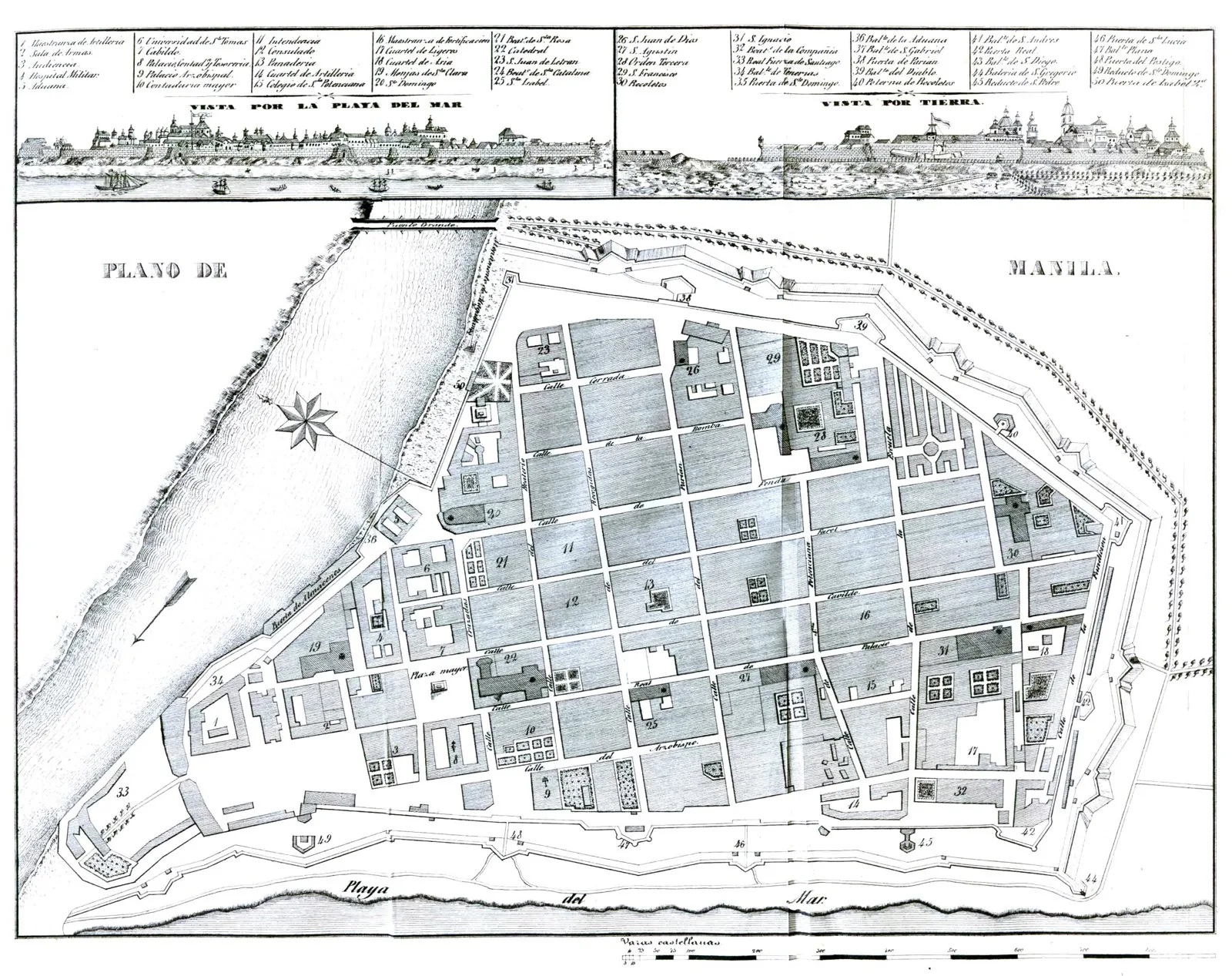
Issued by Philip II of Spain in 1573, the Ordenanzas de Descubrimiento y Población codified, in roughly 150 articles, how to found towns across Spain's vast new territories: begin with a central plaza, lay out a grid of streets from its corners, site the church and government buildings in prescribed relationships, allocate lots, and orient everything to moderate sun and wind.
Significance
The Laws of the Indies are the most influential planning code in history, stamping a recognizable plaza-and-grid template onto hundreds of cities from California to Argentina and the Philippines. They represent the first time urban form was standardized and exported at continental scale — planning as an instrument of empire.
What became of it
Highly influential as a code: its central-plaza-and-grid prescriptions shaped hundreds of towns across Spanish America (and Manila) for centuries and remain the most complete, widely disseminated 16th-century planning ordinance.
Critique
Scholars stress the gap between code and reality, as town founders applied the grid pragmatically and selectively, so the Laws functioned more as a flexible template than a rigidly enforced blueprint.
What shaped it
- Spanish conquest of the Americas (1519–1572)
- Ocean-going caravel, galleon and navigation (15th–16th c.)
- De Architectura (c. 15 BCE)
- The Treaty of Tordesillas (1494)
Plans it influenced
- Savannah Ward Plan (1733)
- Philadelphia Plan (1682)
- New Haven Nine-Square Plan (1638)
Sources
- https://en.wikipedia.org/wiki/Laws_of_the_Indies
- https://vistas.ace.fordham.edu/lib/16th/layout/history-visual-culture/