Madurai (Temple City)
Core idea
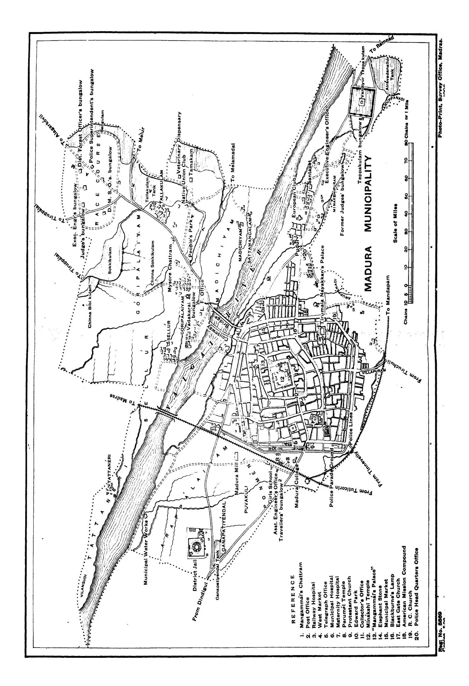
Concentric rectangular streets radiating outward from Meenakshi Temple — a city built as sacred mandala
Why it matters
Archetype of the Dravidian temple-city; demonstrates how Hindu cosmology generates urban form
Description
Developed under the Nayak rulers in the 16th–17th centuries, Madurai was organized as a series of concentric rectangular streets radiating outward from the Meenakshi Amman temple at its heart, so that the city's plan directly embodies a Hindu cosmological mandala. Processional streets, tanks, and bazaars align with the temple's gateways (gopurams).
Significance
Madurai is the archetype of the South Indian Dravidian temple-city, where religious cosmology literally generates the street plan. It demonstrates a sophisticated indigenous tradition of ordered, concentric urbanism wholly independent of European models.
What became of it
Realised and continuously inhabited: the Nayak rulers (esp. Tirumalai Nayak, r.1623–59) redesigned the city as concentric rectangular streets around the Meenakshi temple, a mandala layout that survives in Madurai's street pattern today.
Critique
Some scholars caution that the neat 'lotus-mandala / Shilpa Shastra' reading is partly a retrospective idealisation, with the concentric form emerging incrementally over centuries rather than from a single cosmological master plan.
What shaped it
- The vastu-purusha mandala diagram (c. 6th c. CE (codified))
- Vastu Shastra / Mayamata / Manasara (c. 6th c. CE)
- Temple-tank and eri (tank) irrigation hydraulics (c. 9th c. CE onward)
- Hinduism & the Vedas (c. 1500 BCE onward)
Plans it influenced
- Thiruvananthapuram (1745)