Mahabalipuram (Mamallapuram)
Core idea
Planned coastal port-city with rock-cut rathas, shore temples, and sculptural mandapas along a ritual-mercantile waterfront
Why it matters
Early example of a planned Dravidian port settlement integrating sacred architecture, maritime trade, and monumental art
Description
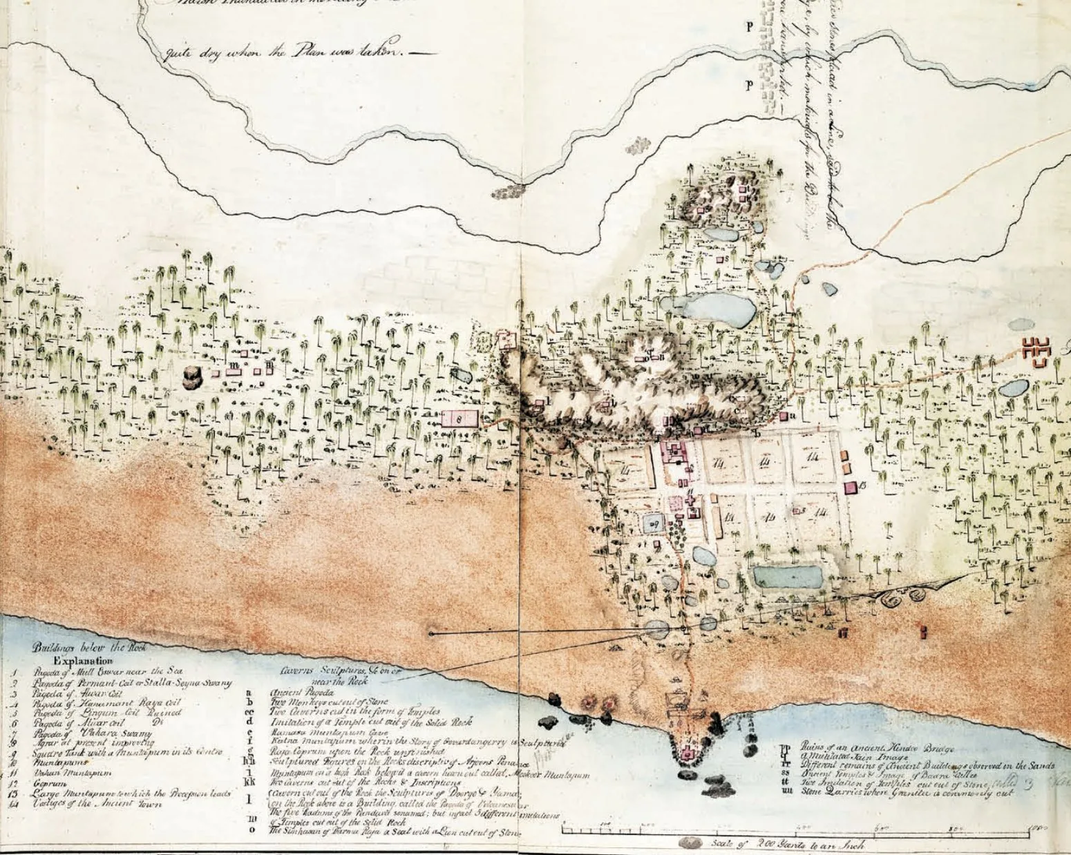
Mahabalipuram, on the Coromandel coast of Tamil Nadu in southern India, was developed in the seventh and eighth centuries CE by the Pallava kings Narasimhavarman I and II as a port city serving their capital at Kanchipuram. The settlement combined maritime trade functions with an extraordinary programme of monolithic rock-cut rathas, cave mandapas, the great open-air relief known as the Descent of the Ganges, and the structural Shore Temple facing the sea along a ritual waterfront.
Significance
Mahabalipuram is an early example of a planned Dravidian port settlement in which sacred architecture, monumental sculpture and maritime commerce were conceived together. Its monuments mark a formative moment in South Indian temple architecture, later elaborated by the Cholas, and the ensemble, inscribed as a UNESCO World Heritage site, illustrates how trade and cosmology jointly shaped urban form on the Indian Ocean rim.
What shaped it
- Vastu Shastra / Mayamata / Manasara (c. 6th c. CE)
- The vastu-purusha mandala diagram (c. 6th c. CE (codified))
- The Buddhist stupa and vihara settlement (c. 3rd c. BCE onward)
Plans it influenced
- Madurai (Temple City) (c. 16th–17th c.)
- Thanjavur (Tanjore) (c. 10th–11th c.)