Vierde Nota over de Ruimtelijke Ordening (Fourth Memorandum on Spatial Planning)
Core idea
Competitiveness and 'mainports' turn around Schiphol and Rotterdam.
Why it matters
Shifted Dutch planning from regional equalisation to economic competition; precursor to VINEX.
Description
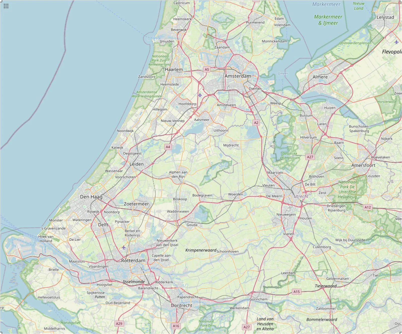
The Vierde Nota over de Ruimtelijke Ordening of 1988 marked a shift in Dutch spatial policy from the pursuit of regional equality through distribution towards strengthening regions on their own economic strength. Framing the Netherlands as a distribution nation within an integrating Europe, it emphasised the international competitiveness of the Randstad and designated the country's mainports, Schiphol airport and the port of Rotterdam, as engines of growth to be reinforced by improved hinterland connections. Urban nodes and the compact-city idea featured strongly, and the memorandum's supplementary version of 1991, known as VINEX, went on to direct large-scale housing construction to sites at and on the edges of existing cities.
Significance
The Fourth Memorandum reoriented Dutch spatial planning towards economic competitiveness and the global positioning of the Randstad, replacing the earlier logic of regional redistribution. Its mainport strategy and compact-city approach, carried forward through the VINEX supplement, shaped major infrastructure and the large urban-extension neighbourhoods built across the Netherlands from the 1990s onward.
What shaped it
- Neoliberalism (1970s–1990s)
- Thatcher–Reagan deregulation (1979–1989)
- The jet airliner and the airport (Comet 1952; Boeing 707 1958)
- The master plan (early 20th c.)
Plans it influenced
- VINEX (1991)
- Deltametropolis Concept (1998)
- Amsterdam Zuidas (1998–)
Sources
- https://nl.wikipedia.org/wiki/Vierde_nota_ruimtelijke_ordening
- https://www.ruimteenwonen.nl/de-ruimtelijke-metamorfose-van-nederland-1988-2015