Atlanta BeltLine
Core idea
Looped greenway + TOD around rail
Why it matters
National model of rails-to-trails urbanism
Description
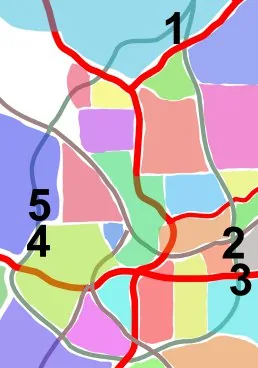
Atlanta's BeltLine (from 2005) is converting a 22-mile loop of disused railway encircling the city into a continuous greenway, transit corridor, and linear park, stitching together dozens of neighbourhoods and catalyzing adjacent development.
Significance
The BeltLine is one of the most ambitious adaptive-reuse infrastructure projects in the US, a landmark of the greenway movement — though it has also become a textbook case of green gentrification and displacement pressure.
What became of it
Partly realised and still under construction; completed segments have spurred major adjacent development and remain among the most-used trails in the US, with full loop completion targeted later this decade.
Critique
Widely cited as a driver of trail-side gentrification and rising housing costs that displace the lower-income neighbourhoods the project was meant to serve.
What shaped it
- The linear park / greenway (1878 / 2009 revival)
- Landscape urbanism (Waldheim) (1997-2006)
- Transit-oriented development (TOD) (1993)
Plans it influenced
- Monterrey Gran Parque Río La Silla (2019–)
- Tampa Downtown Riverwalk Plan (2010s–)
- Oakland Downtown Specific Plan 2040 (2020–)
- Toronto Port Lands Flood Protection / Don Mouth Naturalization (2017–)