Vijayanagara (Hampi)
Core idea
Sacred-royal landscape: temples, processional roads, bazaars, and hydraulic infrastructure across a boulder-strewn river valley
Why it matters
One of the largest cities in the world in 1500; Hindu cosmological planning at imperial scale, integrated with geology
Description
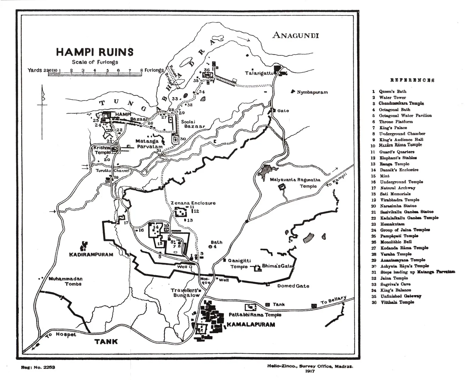
Capital of the Vijayanagara empire from 1336, Hampi spread across a dramatic boulder-strewn landscape on the Tungabhadra river, integrating royal enclosures, vast temple complexes, processional bazaar streets, and an elaborate network of tanks and canals. By 1500 it was among the largest cities in the world, awing foreign visitors with its scale and waterworks before its sack in 1565.
Significance
Vijayanagara shows Hindu cosmological and royal planning operating at imperial scale and ingeniously fitted to a difficult terrain. Its ruins are among the most evocative urban landscapes anywhere, and its sudden destruction makes it a powerful lesson in the fragility of even the greatest cities.
What became of it
Sacked and systematically plundered for some six months after the defeat at Talikota (1565); the capital was abandoned and left in ruins (Hampi, UNESCO 1986), with perhaps only about a quarter of the built fabric surviving.
Critique
Recent scholarship challenges the narrative of sudden total collapse, stressing variable, selective destruction and the empire's continuation under the Aravidu dynasty for nearly a century.
What shaped it
- The vastu-purusha mandala diagram (c. 6th c. CE (codified))
- Temple-tank and eri (tank) irrigation hydraulics (c. 9th c. CE onward)
- Vastu Shastra / Mayamata / Manasara (c. 6th c. CE)
- The stepwell (baoli / vav) (c. 6th c. CE onward)
Plans it influenced
- Madurai (Temple City) (c. 16th–17th c.)
- Bijapur (Vijayapura) (c. 1489–1686)