Venice
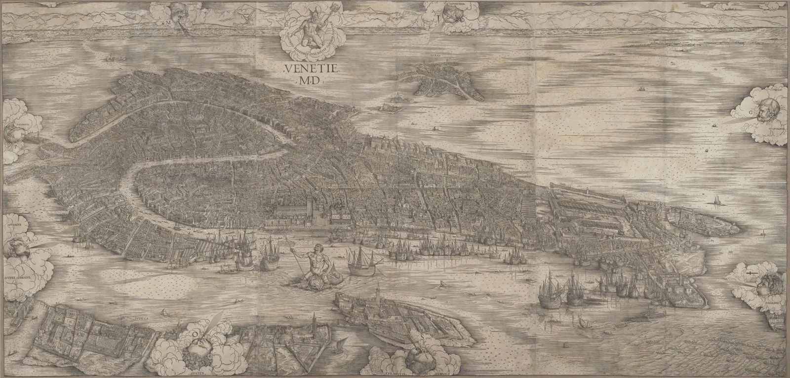
Core idea
Merchant republic engineered onto lagoon islands — canals as streets, campi as neighborhood centers, the Piazza San Marco as civic stage, all on driven-pile foundations
Why it matters
The supreme example of mercantile urbanism and hydraulic engineering as city form; centuries of planned land reclamation without a master plan, governed by maritime trade
Description
From around the 9th century the Republic of Venice engineered a city onto more than a hundred lagoon islands, driving timber piles into mud to support stone buildings and using canals as its primary streets. Neighbourhoods (sestieri) organized around parish campos, while the Piazza San Marco served as the civic and ceremonial stage. There was no master plan — only centuries of coordinated reclamation, dredging, and building regulation governed by a maritime trading state.
Significance
Venice is the supreme example of mercantile urbanism fused with hydraulic engineering, a city whose form is inseparable from trade and water management. It proves that sustained collective rules, not a single blueprint, can produce one of the most coherent urban environments ever built.
What became of it
Grew organically rather than from a single plan and survives largely intact as a lived-in historic city, though chronic flooding, subsidence and depopulation (resident numbers now well below 60,000) threaten it.
Critique
Critics argue Venice was never 'planned' in a formal sense but accreted ad hoc on consolidated mudbanks, making its celebrated order retrospective rather than designed.
What shaped it
- The plaza / forum / agora (c. 500 BCE)
Plans it influenced
- St. Petersburg (1716)
- Lübeck (Hanseatic) (1143)
- Florence (Communal–Renaissance) (c. 1290–1500)
- Siena (c. 1290)
- Batavia (Old Jakarta) VOC Grid & Canal City (1619)