Greater London Plan
Core idea
Green Belt and New Towns strategy
Why it matters
Decentralization as metropolitan policy
Description
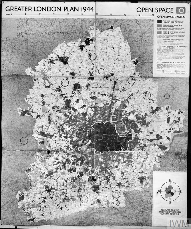
Patrick Abercrombie's 1944 Greater London Plan proposed to manage the metropolis by containing it within a protected green belt, decanting 'overspill' population to a ring of planned new towns beyond, and restructuring the city around ring roads and reorganized communities.
Significance
The Greater London Plan institutionalized the green belt and the new-towns strategy, becoming the most influential model of postwar metropolitan containment and decentralization, copied around the world.
What became of it
Substantially realised: the plan's Green Belt and the ring of post-war New Towns (e.g. Stevenage, Harlow, Crawley) were implemented under the New Towns Act 1946, decisively shaping Greater London's modern form.
Critique
Critics argue the dispersal-and-green-belt strategy contributed to long-run housing shortages and longer commutes by constraining growth in the core.
What shaped it
- Barlow Report & green-belt policy (1940)
- The green belt (1898 concept / 1938 law)
- Garden Cities of To-Morrow (1898 / 1902)
- The Neighbourhood Unit (1929)
- New Towns Act (1946)
- Wartime destruction of cities (1940–1945)
Plans it influenced
- Stevenage New Town (1946)
- Copenhagen Finger Plan (1947)
- Islamabad (1960)
- Thames Gateway Planning Framework (1995)
- Harlow New Town (1947)
- Milton Keynes (1967)
- Second Regional Plan for New York (1968)
- Sharon Plan — Physical Planning in Israel (National Outline Plan) (1951)
Sources
- https://www.britannica.com/topic/Greater-London-Plan-United-Kingdom-1944
- https://en.wikipedia.org/wiki/Greater_London_Plan