Ørestad (Copenhagen)
Core idea
Metro-led development spine
Why it matters
Benchmark for transit-first urban extension
Description
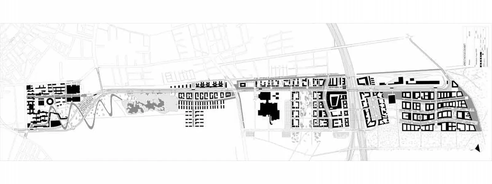
Ørestad is a linear new district planned from 1992 on largely undeveloped land on Amager, between central Copenhagen and the airport, following the Ørestad Act of 1992 and an international masterplan competition won by the Finnish office ARKKI. The development corporation Ørestadsselskabet was charged with financing a new driverless metro line through land sales along a roughly five-kilometre development spine. The district was built out in phases with offices, housing, a university campus and landmark buildings by practices including KHR and BIG, whose VM Houses, Mountain Dwellings and 8 House became emblematic.
Significance
Ørestad is a benchmark for transit-first urban extension, notable for its value-capture model in which infrastructure was funded by the uplift of publicly owned land. It influenced discussions of rail-financed development across Europe and beyond, and Copenhagen's wider 'finger plan' tradition gave it added weight. The district has also drawn sustained criticism for windswept public spaces, coarse urban grain and slow emergence of street life, making it a much-debated case in urban design literature.
What became of it
Built progressively from the late 1990s around the driverless M1 metro; partially realised, with population and jobs reaching well below the original targets by the 2010s-2020s.
Critique
Often criticised as windswept and placeless, with car-scaled infrastructure and slow take-up undermining the intended lively transit-oriented city.
What shaped it
- Transit-oriented development (TOD) (1993)
- The metro / underground railway (1863)
- The compact city (1973-1990s)
- Neoliberalism (1970s–1990s)
Plans it influenced
- Amsterdam Zuidas (1998–)
- The Hague Central Innovation District (2018–)
- Bergen Bybanen Corridor Urbanization (2010s–)
- Vienna Aspern Seestadt (2007–)
- Stockholm Royal Seaport (Norra Djurgårdsstaden) (2009–)
- Stockholm Hagastaden (2010–)
- Copenhagen Nordhavn Masterplan (2008–)
- Copenhagen Carlsberg City District (2009–)